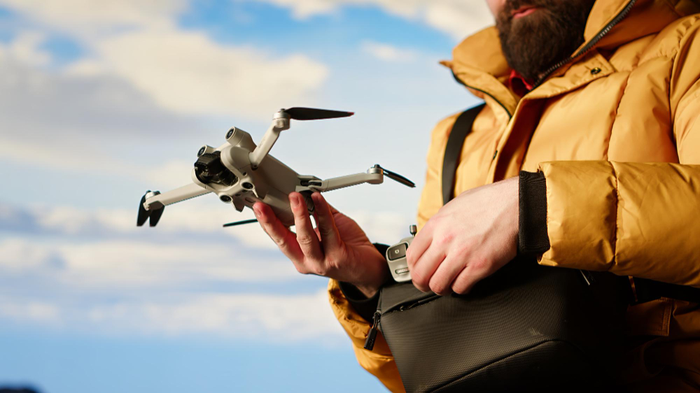
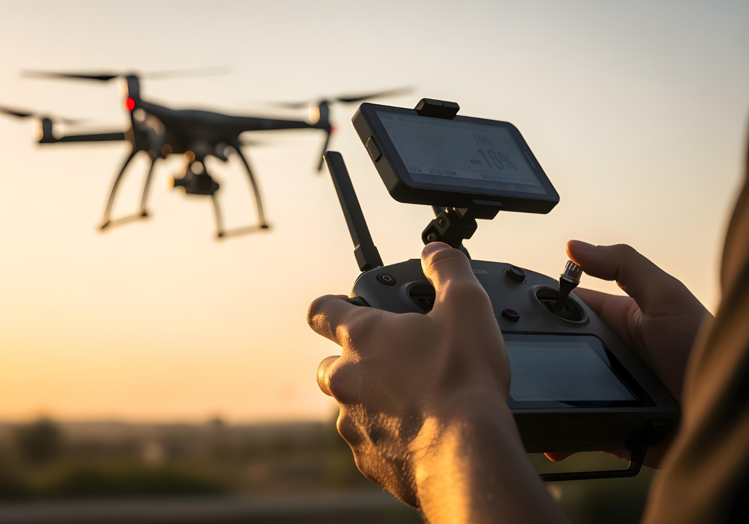
GeoCodes offers cutting-edge drone survey and inspection services that deliver rapid, accurate, and cost-effective mapping solutions. Using UAVs equipped with high-resolution cameras and LiDAR sensors, we capture precise data from above—ideal for construction sites, infrastructure assets, and environmental studies.
Our drone surveys produce detailed orthomosaics, digital elevation models, and 3D reconstructions that empower clients to visualize terrain and assets in real time. This allows teams to make swift, informed decisions while maintaining safety and efficiency on-site.
From monitoring construction progress to inspecting utility corridors or industrial facilities, our UAV solutions offer a flexible and scalable alternative to traditional surveying methods.
GeoCodes adheres to strict aviation and safety standards while leveraging local flight expertise—ensuring smooth operations, quick mobilization, and high-quality outputs across the GCC’s diverse environments.