
GeoCodes provides integrated asset monitoring and condition assessment services that help organizations maintain performance, safety, and value across their infrastructure portfolios.
We use geospatial tools, remote sensing, and field inspection technologies to evaluate asset conditions and detect early signs of degradation. This proactive approach minimizes unplanned downtime and extends asset lifecycles.
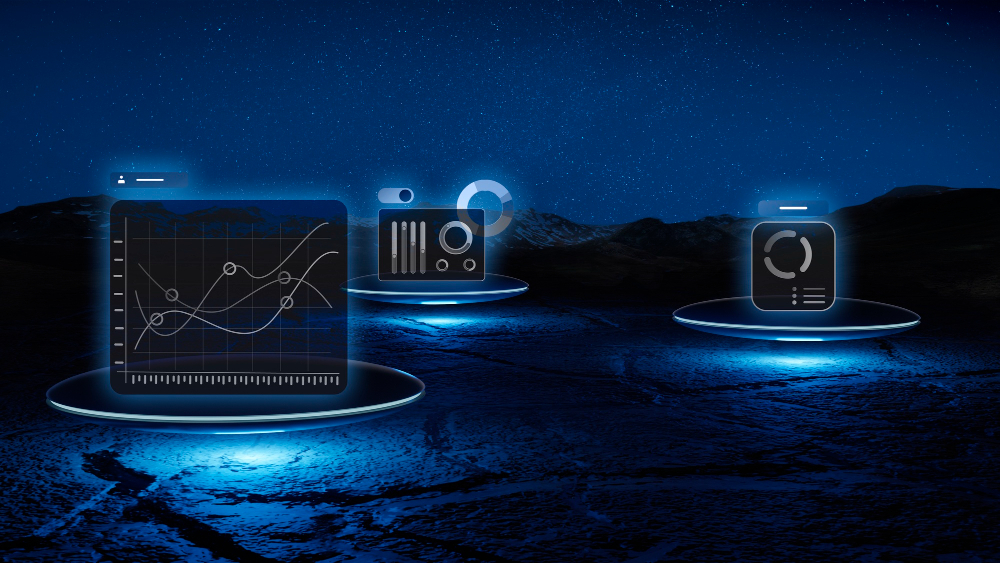
Our condition assessment reports are visual, data-driven, and easily accessible through interactive dashboards that support evidence-based decision-making.
With a strong regional presence and technical expertise, GeoCodes delivers reliable asset insights that empower clients to invest smarter, maintain better, and plan ahead with confidence.