
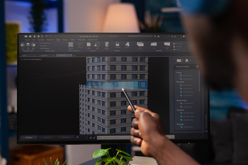
GeoCodes bridges the gap between Building Information Modeling (BIM) and Geographic Information Systems (GIS), enabling true integration between design and location intelligence. Our BIM-GIS coordination services support end-to-end project visibility from concept to operation.
We align detailed engineering models with geospatial context, ensuring infrastructure assets are accurately positioned, analyzed, and managed. This integration enhances collaboration between architects, engineers, and planners—reducing conflicts and rework.
By linking BIM with GIS, GeoCodes helps clients achieve a unified view of their projects, combining structural precision with environmental awareness.
Through this digital convergence, we empower organizations to manage infrastructure more efficiently, improving project outcomes, sustainability, and lifecycle performance.