
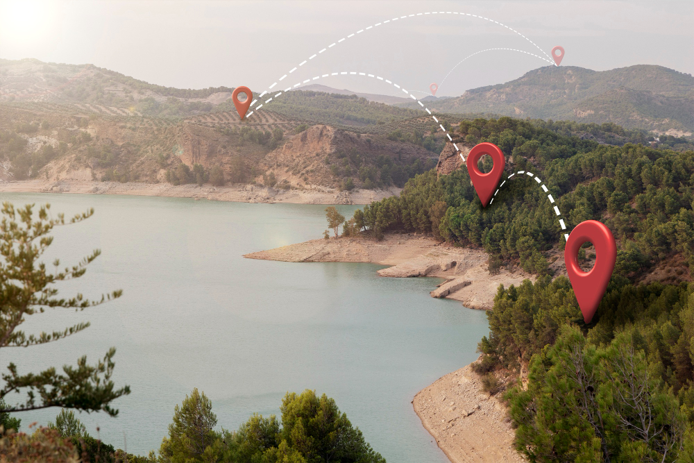
GeoCodes creates precise, visually engaging maps tailored to client objectives, whether for infrastructure development, environmental assessment, or corporate reporting. Our mapping specialists design products that communicate complex data clearly and effectively.
We produce thematic, topographic, and digital maps using the latest geospatial software and high-quality datasets. Each project is built to meet international mapping standards while reflecting the unique geography of the GCC region.
Our cartographic designs go beyond simple visuals—they are decision-support tools that enhance understanding and presentation. From government authorities to private developers, we help clients showcase their data with clarity and impact.
At GeoCodes, we blend art and science to deliver mapping solutions that are accurate, informative, and aesthetically refined—helping every project stand out with professionalism and precision.