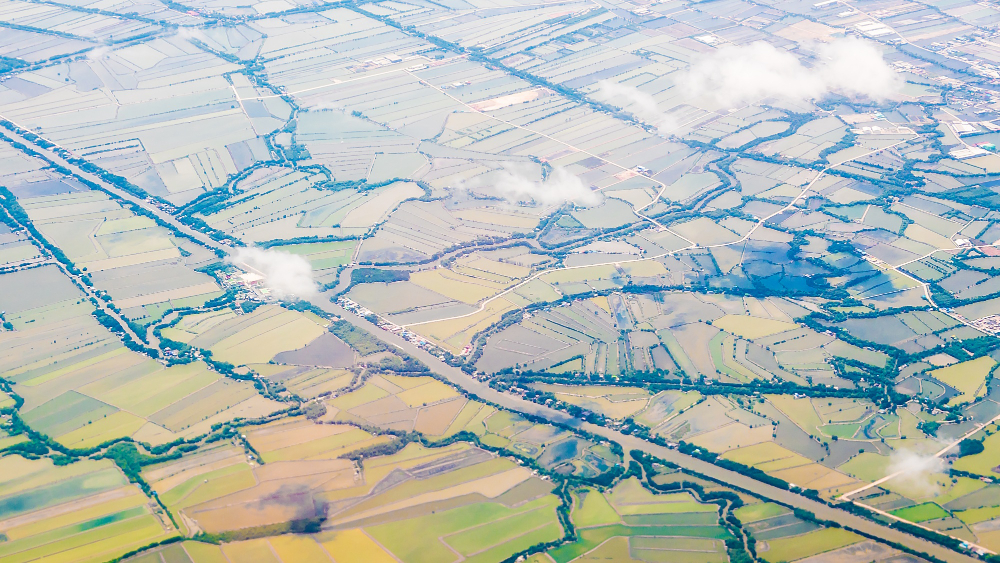
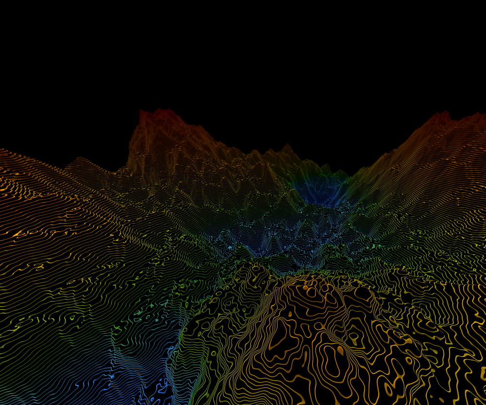
GeoCodes specializes in transforming raw geospatial data into precise, ready-to-use deliverables through advanced data processing and LiDAR services. We handle large-scale datasets efficiently, converting point clouds into high-resolution terrain models, contour maps, and 3D visualizations.
Our LiDAR and point cloud expertise allows clients to capture even the finest surface details—essential for engineering design, infrastructure management, and environmental studies.
We utilize automated workflows and strict quality assurance to ensure accuracy, consistency, and compatibility with GIS and BIM environments. This seamless integration helps clients move from field data to actionable design inputs without delay.
With GeoCodes, organizations gain the advantage of fast turnaround, expert processing, and reliable data outputs that form the foundation of precise and efficient project execution.