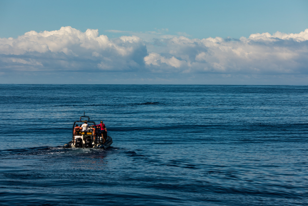
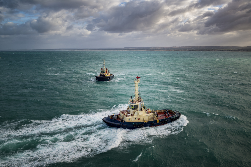
GeoCodes specializes in comprehensive hydrographic and marine surveys designed to support coastal development, port construction, dredging, and environmental monitoring. Our team employs the latest sonar and bathymetric technologies to produce accurate seabed profiles and depth measurements essential for safe navigation and design optimization.
From harbors to offshore energy zones, we provide reliable marine mapping that aligns with international maritime standards. Our surveys not only ensure navigational safety but also aid in assessing sedimentation, shoreline changes, and marine habitats.
By integrating hydrographic data with GIS platforms, GeoCodes helps decision-makers visualize marine environments in new dimensions—enhancing planning for coastal resilience and sustainable infrastructure.
With extensive experience across GCC coastlines, we offer localized expertise that ensures compliance, precision, and efficiency—making us a trusted partner for marine and coastal projects of any scale.