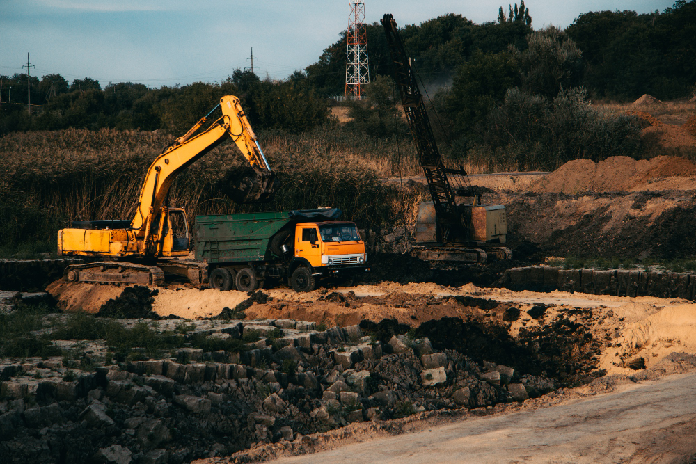
GeoCodes provides geospatial expertise to the mining and natural resource sectors, supporting exploration, planning, and operational efficiency.
We utilize remote sensing, topographic mapping, and 3D modeling to identify potential resources and manage extraction activities sustainably.
Our GIS platforms integrate geological, environmental, and logistical data to help clients visualize sites and optimize operations with minimal impact.
Through data accuracy and spatial intelligence, GeoCodes empowers resource developers to balance productivity, safety, and sustainability in every project.